Plan B, Plan C

us_of_greenland
Graffiti in Sisimiut

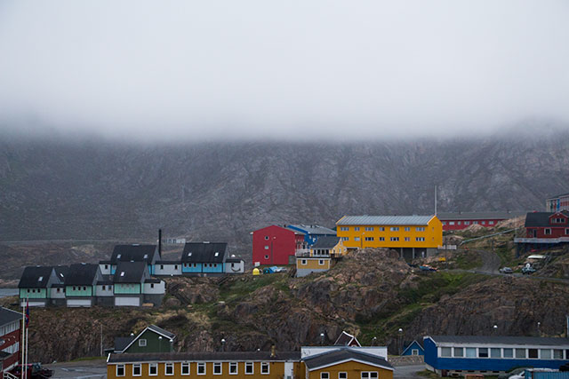
So, we are now back in Kangerlussuaq, having flown here this morning. We will be staying at KISS, Kangerlussuaq International Scientific Support – an old military barracks repurposed for international scientific teams to operate from – an ideal jumping off point for anywhere on the ice sheet or beyond.

At this point even if the Danish bureaucracy comes thru, its too late to execute our original plan.  Plan B is now in effect, and we will be flying to Nuuk, the capital, where we would, weather permitting, fly with Air Greenland – a more expensive service, but very good – up to the topographic center of the ice sheet, where MacKenzie Skiles will be able to get her samples – ice and spectrographic measurements. The flight would require pre-positioning fuel at a midway point on the edge of the ice sheet so we could refuel going to and fro.
That would complete our basic mission. The flights are booked to get us up there, on a flexible, or easy to cancel, basis, so we can still adjust to the last minute.
There is a plan C, but I’m hoping we don’t have to go there.

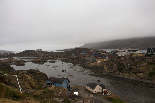
Jason spent the afternoon fetching ice drill and snow pit equipment from a GEUS shipping container here on site, I took a much needed nap, and we made a run to the high rocks overlooking Kanger to shoot some more video and interviews. Tonight we will shoot some more video down by the Watson River Bridge, famously washed out during last year’s record melt.

Jeff Masters on Jet Stream Extremes, and Obama’s Climate Plan

Above, Weather Channel Interview with Jeff Masters on Obama’s groundbreaking climate address.

Below, commentary on jet stream patterns of the last month.

Jeff Master’s Wunderground blog:

The jet steam is exhibiting unusual behavior over the U.S., a pattern we’ve seen become increasingly common in summertime over the past decade. There’s a sharp trough of low pressure over the Central U.S., and equally sharp ridges of high pressure over the Western U.S. and East Coast. Since the jet acts as the boundary between cool, Canadian air to the north and warm, subtropical air to the south, this means that hot extremes are penetrating unusually far to the north under the ridges of high pressure, and cold extremes are extending unusually far to the south under the trough of low pressure. The ridge over the Western U.S., though slowly weakening, is still exceptionally intense.

This ridge, which on Sunday brought Earth its highest temperatures in a century (129°F or 54°C in Death Valley, California), was responsible for more record-breaking heat on Tuesday. July 2. Most notably, Redding, California hit 116°, just 2° short of their all-time record. Death Valley had a low of 104°, the second hottest night on record since 1920 (the hottest was just last summer!) Numerous daily high temperature records were set in Arizona, California, Nevada, Utah, Montana, Oregon, and Washington. It was the opposite story in the Central U.S., where the southwards-plunging jet stream allowed record cold air to invade Texas. Waco, Texas, hit 58°F this morning (July 3), the coldest temperature ever measured in July in the city. Numerous airports in Texas, Nebraska, Arkansas, Louisiana, Kansas, and Missouri set new daily record low temperatures this morning. And over the Eastern U.S., the northward-pointing branch of the jet stream is creating a potentially dangerous flooding situation, by pulling a moisture-laden flow of tropical air from the Gulf of Mexico over the Florida Panhandle north-northeastward into the Appalachians. Up to five inches of rain is expected over this region over the next few days, and wunderground’s severe weather map is showing flash flood warnings for locations in Florida, Georgia, South Carolina, and North Carolina.

Figure 1. Jet stream winds in the upper atmosphere at a pressure level of 300 mb on July 3, 2013. The jet had an unusually extreme configuration for summer, with a sharp trough of low pressure over the Central U.S., and equally sharp ridges of high pressure over the Western U.S. and East Coast. Image from the wunderground jet stream page.

Continue reading “Jeff Masters on Jet Stream Extremes, and Obama’s Climate Plan”

Fog Rolls in to Sisimiut, and Dark Snow Picture Still Unclear

We awakened on July 2 to find Sisimiut enshrouded in Fog. The meeting of moist and dry airmasses in this sliver of land between ocean and ice makes for dramatic contrasts that change hourly and unpredictably.

You can watch the fog slowly dissipate in the video above. I pulled out a single frame that showed a local resident who briefly landed in front of the camera. Anyone that can identify this, let me know.

birdpic490

Not long after the fog rolled out, it rolled back in again. Air Greenland was able to sneak one flight into the airfield before the white out returned. I set up my camera to record, but while I was inside working, a new visitor stopped by to take in the view. See if you can catch the frame in the video here.

foxOur helicopter situation grows increasingly problematic. We will need a positive resolution of our provider’s bureaucratic snafu in very short order, or we may have to go to some undesirable plans B and C.  July 4 will be a key decisionmaking day.

Work Continues in Sisimiut

In this time lapse, you can see the sun has disappeared behind the mountains ringing Sisimiut, but is still above the horizon.
As it plays on the clouds, you can track it’s movements on the sky for some time.
I saw this shot developing just before midnight as the clouds moved in, set up the GoPro just outside the cabin, and went to bed.

0701f
Jason Box and filmmaker Sara Penrhyn Jones continue to push out the science and media components of the Dark Snow Project.

We hope to find out more today about our transportation situation, and make plans for the coming week. Our chopper provider is still hamstrung by bureaucratic red tape out of Denmark.  A new member of the science team, Mackenzie Skiles, will be arriving soon, so the need for a plan is becoming more urgent.

For now, we are socked in by fog anyway, so there would be no flying today under the best circumstances. We continue to push out media and work with media contacts who are increasingly interested in our project.

Sea Level Impact on Florida Dawning on Policy Makers

The Associated Press video above explores the story of sea level impacts on one of the world’s most vulnerable metro areas, Miami and South Florida.

Last week, Dark Snow Project hosted Rolling Stone writer Jeff Goodell, whose latest piece “Goodbye Miami”  is a rather overwhelming exploration of what everyone who looks at the evidence knows – Miami is one big storm away from becoming unviable as a place to live, and the State of Florida is dangerously exposed to insurance risks from the inevitable destruction of coastal property when, not if,  the next giant hurricane comes ashore.

The effects of sea level rise from climate change are not a problem for the next generation – as Superstorm Sandy showed us, they are beginning to take a toll even now as infrastructure designed for sea levels of 50 to 100 years ago crumbles under warming-enhanced extreme events that are made much more powerful even by a few inches of sea level rise.  Jeff’s article begins with one of the more memorable images in the annals of climate journalism.

When the water receded after Hurricane Milo of 2030, there was a foot of sand covering the famous bow-tie floor in the lobby of the Fontaine­bleau hotel in Miami Beach. A dead manatee floated in the pool where Elvis had once swum.

Jeff’s account of his trip to the ice sheet with DarkSnow is due out on July 16.
Stay tuned.

More Science and Visuals from Greenland

Extreme contrasts between warm, moist air, and cold dry air, make for rapid and dramatic change in the environment of coastal Greenland, as evidenced in this mysterious fog effect over Sisimiut.

lowceiling

lowceiling2

team
Jason Box and Sara Penrhyn Jones at work in our Sisimiut base. There’s a great synergy here among the three of us passing images, dialogue and expertise back and forth. It’s like a high end graphic shop transplanted from Brooklyn or San Francisco to a tiny cottage on the rocky coast of Greenland.

Meltfactor: Jason Box’s blog:

Surface reflectivity of sunlight is called “albedo”. Albedo is a Latin-based word referring to whiteness. The higher the albedo, the more sunlight can be reflected. As albedo decreases, more sunlight can be absorbed.

The absorption of sunlight is the largest single source of melt energy on the Greenland ice sheet.

Surface albedo across Greenland is mapped using data from NASA’s Moderate Resolution Imaging Spectroradiometer (MODIS) satellite-borne sensors. Before melting is underway, albedo is above 80%.

meltalbedo

Continue reading “More Science and Visuals from Greenland”